Complete Guide to the Natchez Trace Parkway in Mississippi, Alabama, and Tennessee, including things to do, history, nearby lodging and camping, directions, and so much more.
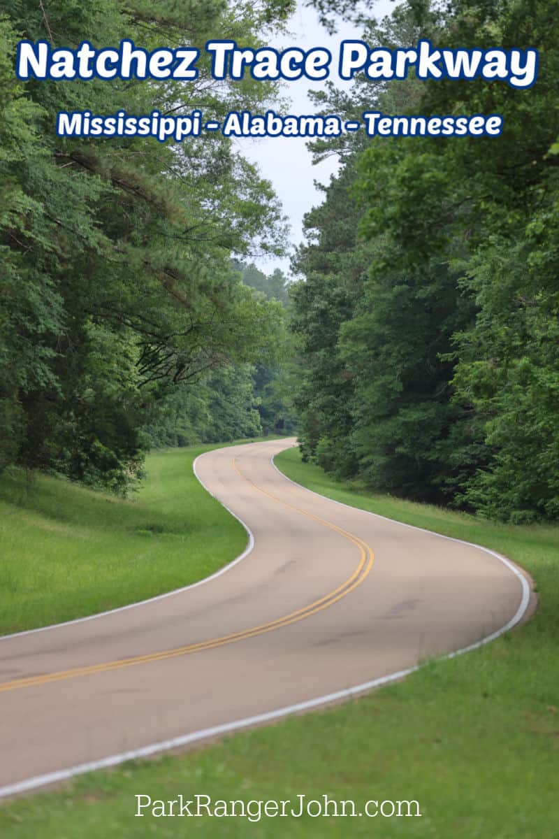
Natchez Trace Parkway
The Natchez Trace Parkway is a 444-mile recreational road and scenic drive through three states in the southeastern United States, including Mississippi, Alabama, and Tennessee.
The parkway roughly follows the "Old Natchez Trace," which was a historic forest trail used by the Natchez, Chickasaw, and Choctaw tribes before being developed as a trade route between the Gulf of Mexico and the Ohio River Valley.
Today, the Natchez Trace Parkway is a popular destination for visitors looking to experience the park's scenic beauty and explore its historical significance.
The parkway features numerous sites and landmarks of historical and cultural importance, including prehistoric mounds, Civil War battlefields, and historic settlements.
Visitors can explore the parkway by car, motorcycle, bicycle, or on foot via its numerous hiking and biking trails.
Several developed campgrounds and primitive camping locations are also throughout the park for visitors looking to extend their stay.
TL;DR Don't have time to read the full article? Here are my top finds:
🏨Hotels and Vacation Rentals
📍Tours
🐻 Save time! Buy your National Park Pass before your trip
Natchez Trace Parkway Entrance Fee
This park is a fee-free park year-round. There is no fee or pass required.
Learn more about National Park Passes for parks that have an entrance fee.
$80.00 - For the America the Beautiful/National Park Pass. The pass covers entrance fees to all US National Park Sites and over 2,000 Federal Recreation Fee Sites for an entire year and covers everyone in the car for per-vehicle sites and up to 4 adults for per-person sites.
Buy your pass at this link, and REI will donate 10% of pass proceeds to the National Forest Foundation, National Park Foundation, and the U.S. Endowment for Forestry & Communities.
National Park Free Entrance Days -Mark your calendars with the free entrance days the National Park Service offers for US citizens and residents.
About Natchez Trace Parkway
The Natchez Trace Parkway follows the route of an ancient trail that was used by Native Americans, explorers, traders, and settlers for thousands of years.
Along the way, you can enjoy beautiful landscapes, historic sites, cultural attractions, and outdoor activities.
Here are some of the highlights of the Natchez Trace Parkway that you might want to check out:
Nashville Northern Terminus at Milepost 442.1: This is where the Parkway begins or ends, depending on which direction you are traveling.
You can celebrate your journey with a delicious meal at the Loveless Cafe, a Nashville staple that serves scratch-made biscuits, fried chicken, and homemade jams.
Leiper's Fork at Milepost 438: This charming village offers quaint antique stores, gift shops, art galleries, and cozy cottages.
You can also enjoy live music and Southern cuisine at Puckett's Grocery or The Country Boy.
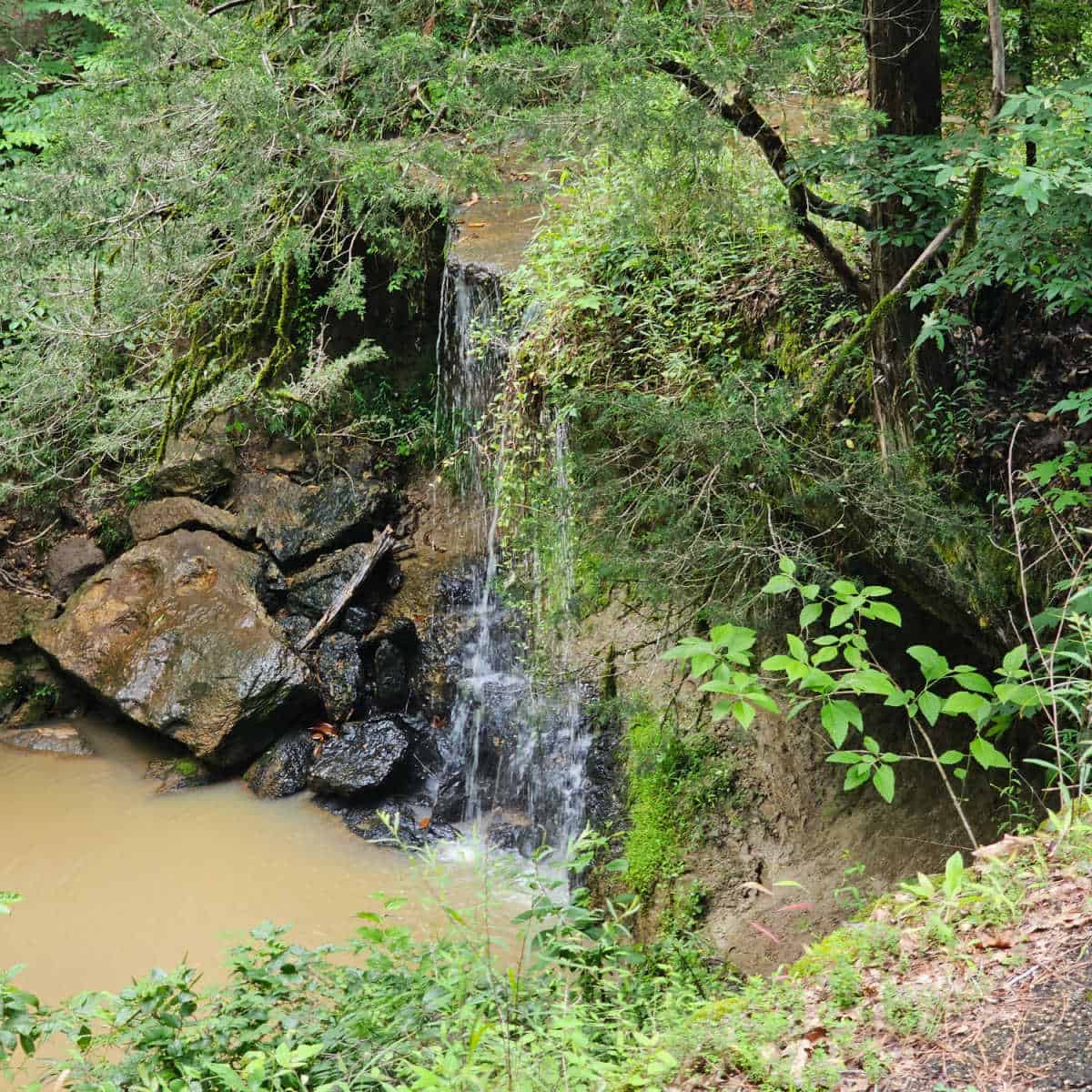
Fall Hollow Waterfall at Milepost 391.9: This is a stunning waterfall that can be reached by a short hike from the Parkway. You can also stay at the Fall Hollow Campground, which offers tent sites, RV sites, and cabins.
Meriwether Lewis Monument at Milepost 385.9: This is where Meriwether Lewis, one of the leaders of the Lewis and Clark Expedition, died mysteriously in 1809. You can visit his grave site and a replica of the inn where he stayed. You can also camp at the Meriwether Lewis Campground, which has 32 sites with drinkable water, flush toilets, and hiking trails.
Wichahpi Commemorative Stone Wall at Milepost 338: This unique stone wall was built by Tom Hendrix in honor of his great-great-grandmother Te-lah-nay, a Yuchi Indian who was forced to walk the Trail of Tears and later returned to her homeland. The wall is said to be the largest un-mortared rock wall in the United States and a sacred place for Native Americans.
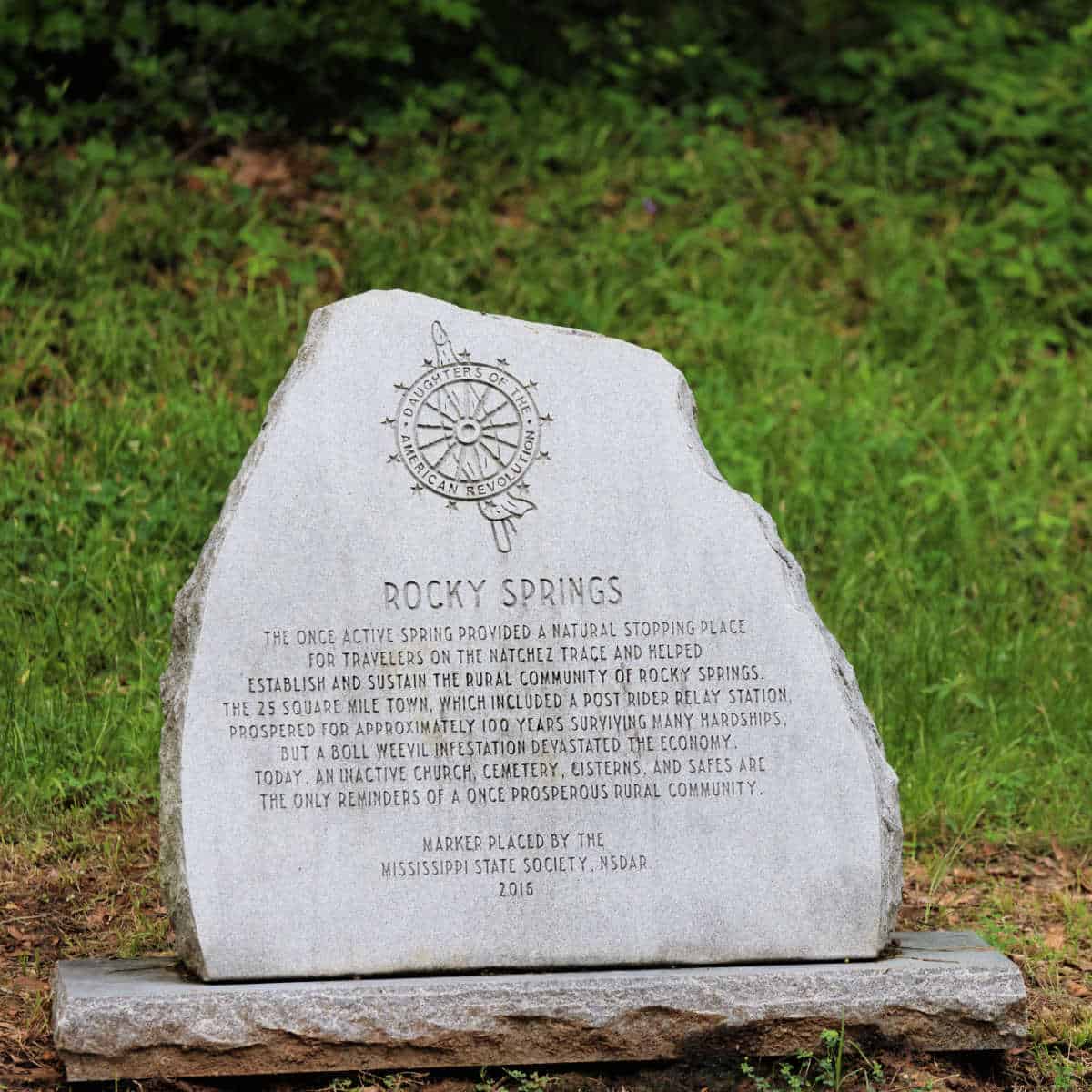
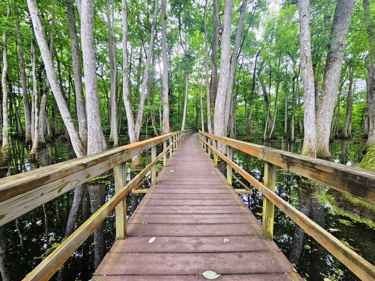
Rock Spring Nature Trail at Milepost 330.2: This is a lovely loop trail that leads you through a hardwood forest, a boardwalk over a beaver pond, and a spring-fed stream. You can also see some traces of the original Natchez Trace trail along the way.
Pharr Mounds at Milepost 286.7: This archaeological site contains eight burial mounds dating back to 1-200 A.D. The mounds are believed to have been built by a prehistoric Native American culture known as the Middle Woodland period.
The Elvis Presley Birthplace at Milepost 260.8: where you can tour the tiny home where the King of Rock 'n Roll was born and see memorabilia and exhibits.
Cypress Swamp at Milepost 122: This is a beautiful swamp that is home to bald cypress trees, tupelo trees, and various wildlife. You can walk along a boardwalk that circles the swamp and enjoy the serene views.
You can stop in Ridgeland, Mississippi right off of the Parkway and enjoy delicious food at Aplos Simple Mediterranean. We based our last Parkway visit in Ridgeland and it was a great hub for exploring.
Emerald Mound at Milepost 10.3: This is the second-largest ceremonial mound in North America, measuring 770 feet by 435 feet and rising 35 feet high. It was built by the Mississippian culture between 1200 and 1730 A.D. and served as a religious and political center.
Natchez Southern Terminus at Milepost 0: This is where the Parkway ends or begins, depending on which direction you are traveling. You can explore the historic city of Natchez, which has many antebellum mansions, museums, restaurants, and shops. You can also take a ferry across the Mississippi River to Vidalia, Louisiana.
History of Natchez Trace Parkway
The Natchez Trace Parkway encompasses 10,000 years of American history. The story begins shortly after the end of the last Ice Age and winds through the past, offering a glimpse into the rich tapestry of events, cultures, and landscapes that have shaped this iconic route.
Stretching over 440 miles from Natchez, Mississippi, to Nashville, Tennessee, the Natchez Trace Parkway is an ancient travel corridor that weaves through a diverse range of ecosystems and historical sites, making it a remarkable journey through time.
The Native American History of Natchez Trace Parkway
The Natchez Trace Parkway is a centuries-old pathway, first traveled by large mammals such as bison. These ancient animals, who trekked from Mississippi to the Cumberland Plateau, were followed by ancient Native American hunters.
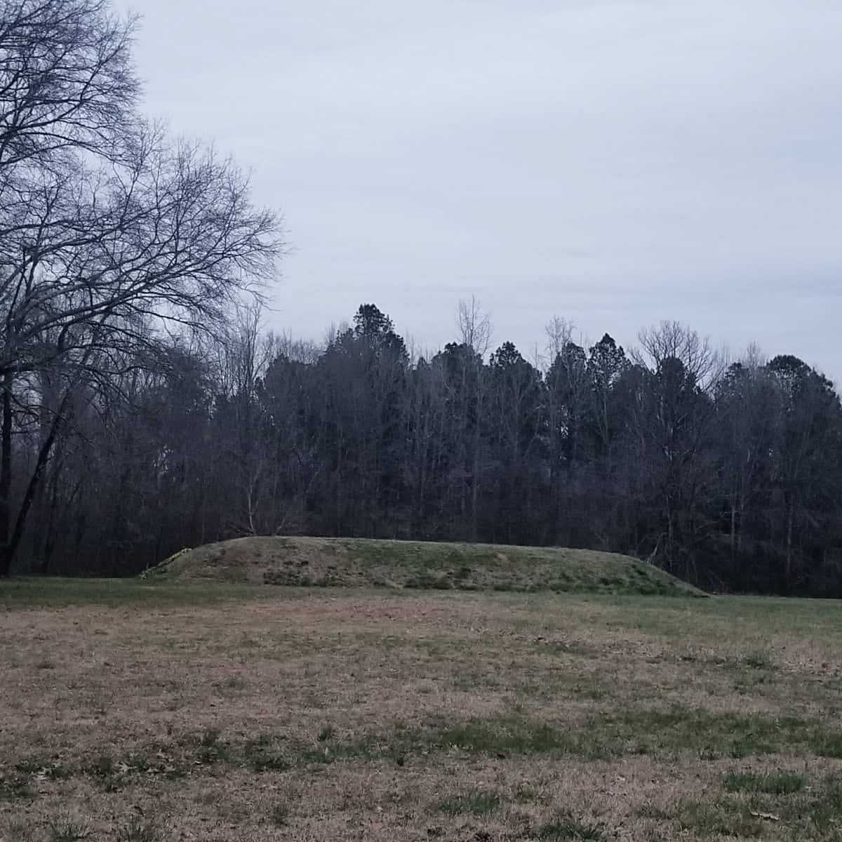
The Natchez Trace Parkway was continuously used by Native American tribes. The Parkway preserves and protects several areas of significance to the Native American cultures that used, and later lived along the pathway, including six mound sites. These centuries-old mounds were used for ceremonial or burial purposes or served as temples.
By the time the first Europeans entered the region, the mound-building cultures were in decline. However, when the Europeans began to settle in the area in the late 1700s and 1800s, the Natchez, Choctaw, and Chickasaw nations were thriving in the region.
The Natchez tribe lived in the southernmost region on the trail, while the Chickasaw lived in the north and the Choctaw in the center. The ancient footpath became a well-traveled trade route, connecting the nations.
The arrival of settlers interrupted these nations' traditional way of life and their use of the Natchez Trace. From the 1800s onwards, the ancient pathway was often used by pioneers and settlers, so much so that their wagons created lasting sunken sections on the path.
The pathway began to be used by the European Americans as a postal route, as it was the fastest way to transport communications between the territories it connected and beyond. The route was also heavily used by a group of boatmen called Kaintucks.
The Natchez Trace and the Kaintucks
In the early 1800s, a group of boatmen from the Ohio River Valley began to use the Natchez Trace. The boatmen were known as Kaintucks and would float their merchandise down the Ohio and Mississippi Rivers in flat-bottomed boats.
The Kaintucks transported all types of goods, ranging from timber, coal, livestock, and enslaved African Americans. They would sell their items at markets in Natchez and New Orleans, including their boats.
From Natchez, the boatmen would walk back home using the Natchez Trace to Tennessee, which would take roughly 35 days. Despite the harsh conditions the Kaintucks often encountered on the Trace, they continued to use it. In 1810, 10,000 Kaintucks traveled the route from Natchez to Nashville!
The Natchez Trace during the War of 1812
In 1812, the Natchez Trace was utilized by the U.S. military when America was plunged into a second conflict with the British, known as the War of 1812. Tensions had been steadily mounting between the British and the U.S. for some time before war was declared.
One of the main reasons for the hostile relationship between the two nations was the British practice of impressment, whereby they forcibly seized American sailors and claimed them as British subjects.
Additionally, the British interfered with American trade with European countries, in particular France, whom Britain was at war with. The British were also providing arms and assistance to Native American tribes who were fighting the U.S. government's expansion into their territories.
When war erupted on the 18th of June, 1812, the Natchez Trace became an important corridor for military movements and communications
General Andrew Jackson, who would later go on to become the 7th President of the United States, used the Natchez Trace in 1813 on his way back to Tennessee, from Natchez, Mississippi, and again in 1815 after the Battle of New Orleans. Andrew Jackson received his nickname, "Old Hickory," while on his journey along the Natchez Trace in 1813.
Jackson was told to disband his soldiers, forcing them to make their way home from Mississippi to Tennessee. Jackson refused the order and financed the trip home along the Natchez from his pocket.
While Jackson and his men were making their way home, Jackson lifted the morale of his men by walking alongside them when they needed encouragement and gave up his horse when someone was too sick to continue walking.
Throughout the journey, Jackson continued to keep his men disciplined and It was this determination and kindness that he showed to his men while traveling along the ancient footpath, that earned him the nickname.
The Natchez Trace and the Trail of Tears
The Trail of Tears was a tragic event in American history that took place in the 1830s and involved the forced removal of the Cherokee Nation from their ancestral lands in the southeastern United States to designated territories west of the Mississippi River.
This forced relocation led to the suffering and deaths of 4,000 members of these tribes. The route the 17 groups of Cherokee were forced to travel, became known as the Trail of Tears, which intercepts the Natchez Trace at several points.
There were several different routes taken by the Cherokee along the Trail of Tears, which are the Benge Route, Bell Route, Drane Route, and the Water Route. Each of these routes made use of the Natchez Trace. Markers along the Natchez Trace indicate where the paths were intercepted.
Is Natchez Trace Parkway worth visiting?
YES! The Natchez Trace is a gift!
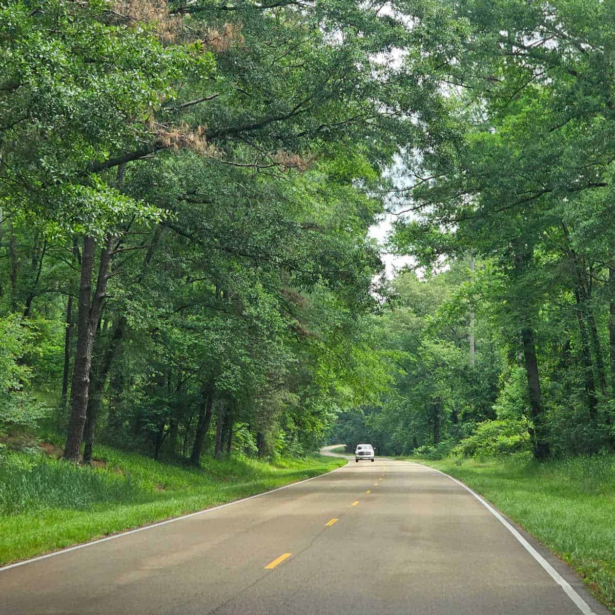
It is so refreshing to drive and explore nature without being inundated with today's technology and advertising, such as billboards, stores, and gas stations.
You will find very few signs along the way, but they will be necessary, such as directional and regulatory signs.
It is amazing how relaxing driving can be when you are not bombarded with nonstop distractions from everyday life.
Remember, the best way to enjoy the Natchez Trace Parkway is to unwind and follow your curiosity to discover new sites and experiences.
Things to know before your visit
Time Zone
(CDT) Central Time
Pets
Pets are allowed at Natchez Trace Parkway, but there are a few rules.
Pets must be on a leash at all times on a leash 6 feet or shorter.
Clean up after your pet and dispose of all waste in garbage receptacles.
Pets are not allowed in park buildings (Service Animals are allowed).
There is a two pet maximum per campsite.
Pets cannot be left unattended.
Cell Service
Cellular service depends upon location. In some areas, we had great service, especially around cities, while in other locations, there was no service.
Park Hours
The Natchez Trace Parkway is open 24 hours a day, 365 days a year.
Exceptions may be during inclement weather or for storm damage or trees falling. Call (800) 305-7417 for road conditions.
Wi-Fi
Wireless internet connection is not offered at Natchez Trace Parkway. Most areas does have Cellular Service.
Insect Repellent
Insect repellent is always a great idea when outdoors, especially if you are around any body of water.
We use Permethrin Spray on our clothes before our park trips. Make sure to read my article on preventing biting insects while enjoying the outdoors.
Water Bottle
Make sure to bring your own water bottle and plenty of water with you. Plastic water bottles are not sold in the park.
Parking
There are various parking areas along the Natchez Trace Parkway.
The parkway has designated areas where visitors can park their vehicles, including picnic areas, campgrounds, bicycle-only campgrounds, and pull-offs.
Some areas may have limited availability, especially during peak season.
Food/Restaurants/Gas
There are no restaurants or gas stations along the the Natchez Trace Parkway itself, but there are many options near the parkway in the towns and cities along the way.
Drones
Drones are not permitted within National Park Sites.
National Park Passport Stamps
National Park Passport stamps can be found in the visitor center.
We like to use these circle stickers for park stamps so we don't have to bring our passport book with us on every trip.
The National Park Passport Book program is a great way to document all of the parks you have visitied.
You can get Passport Stickers and Annual Stamp Sets to help enhance your Passport Book.
Details about the Natchez Trace Parkway
Size
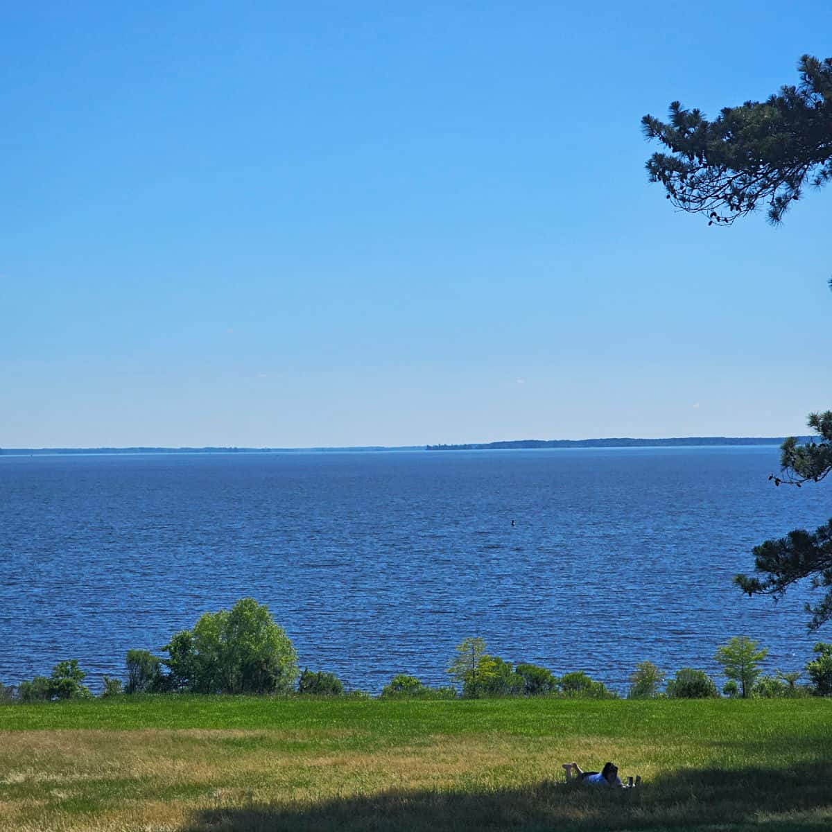
The Natchez Trace Parkway covers a total of 52,289 acres of land in three states: Mississippi, Alabama, and Tennessee. Nearly 39,000 of these acres are maintained in natural conditions, such as forests, fields, and open water.
Check out how the park compares to other National Parks by Size.
Date Established
The Natchez Trace Parkway was established as a unit of the National Park Service on May 18, 1938. It was officially completed in 2005 after 67 years of construction.
It commemorates the historic travel route known as the Natchez Trace, which dates back to prehistoric times and was used by Native Americans, explorers, traders, and settlers for thousands of years.
National Park Address
2680 Natchez Trace Parkway, Tupelo 38804
Where is Natchez Trace Parkway?
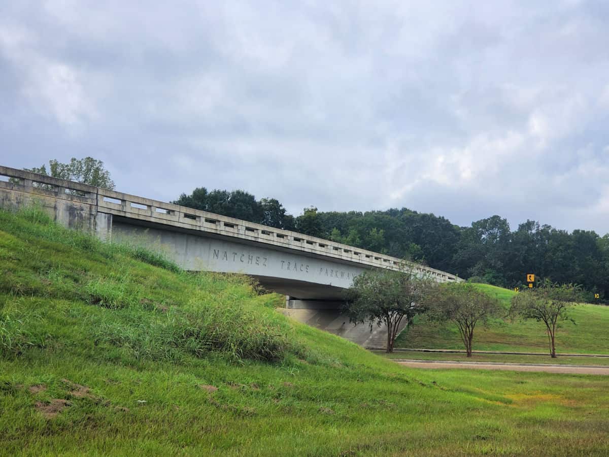
The Natchez Trace Parkway is located in the southern states of Tennessee, Alabama, and Mississippi. It starts at Natchez, Mississippi, and ends near Nashville, Tennessee. It crosses three rivers: the Cumberland, Tennessee, and Mississippi rivers.
Estimated distance from major cities nearby
- Nashville, TN- 21 miles
- Louisville, KY- 193 miles
- Memphis, TN- 199 miles
- Birmingham, AL- 190 miles
- Atlanta, GA- 269 miles
- Saint Louis, MO- 327 miles
- New Orleans, LA- 530 miles
Estimated Distance from nearby National Park
Gateway Arch National Park - 327 miles
Mammoth Cave National Park - 107 miles
Hot Springs National Park - 388 miles
Where is the National Park Visitor Center?
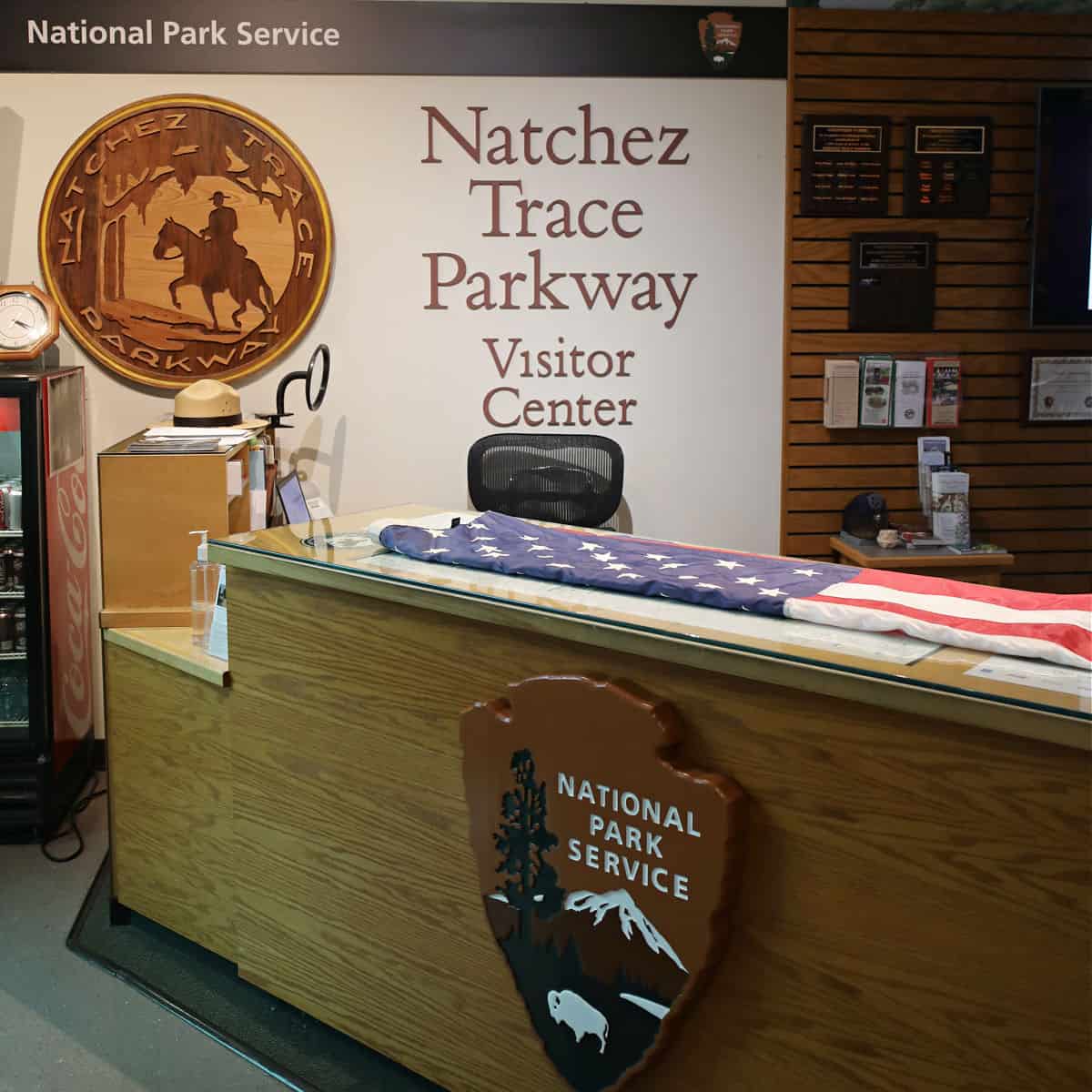
The Parkway visitor center is located just north of Tupelo, Mississippi.
The visitor center address is:
2680 Natchez Trace Parkway, Tupelo, MS 38804
Getting to the Natchez Trace Parkway
Closest Airports
Nashville International Airport- 23 miles
Jackson-Medgar Wiley Evers International Airport- 17 miles
Memphis International Airport- 200 miles
Birmingham-Shuttlesworth International Airport- 195 miles
Hartsfield-Jackson Atlanta International Airport- 323 miles
Tupelo Regional Airport- 211 miles
Driving Directions from Major Access Points
Natchez, Mississippi (Southern terminus of the Parkway, milepost 0)
Liberty Road (from HWY 61 - Devereux Dr, take Sgt. Prentiss Drive to Liberty Rd.)
Nashville, Tennessee (northern terminus, milepost 444)
Highway 100 is about 17 miles southwest of downtown Nashville.
Follow I-40 to the west of Nashville and take exit 192, McCrory Lane. Travel on McCrory Lane for about 5 miles to the entrance to the Natchez Trace Parkway.
Jackson, Mississippi
I-20, near Clinton
I-55, in Jackson
Tupelo, Mississippi
I-22 / HWY 78
Highways 6 & 278 (Pontotoc Parkway) just south of Tupelo, Mississippi
Highway 178 in Tupelo, Mississippi (McCullough BLVD)
NOTE: There is no direct access from HWY 45 near Tupelo
Cherokee, Alabama (Florence/Muscle Shoals)
U.S. Highway 72
From Franklin, Tennessee
Highway 96
NOTE: There is no direct access from HWY 840 near Nashville, Tennessee
Best time to visit Natchez Trace Parkway
You can enjoy the Natchez Trace Parkway throughout the year, but spring and fall are the most ideal seasons. During these months, you can admire the beauty of wildflowers and trees in bloom in spring, and the vibrant colors of leaves in fall.
You can also experience the mild weather and the cultural events of the Natchez Pilgrimage Tours. Plus, you can explore all the historical sites that are open along the Parkway.
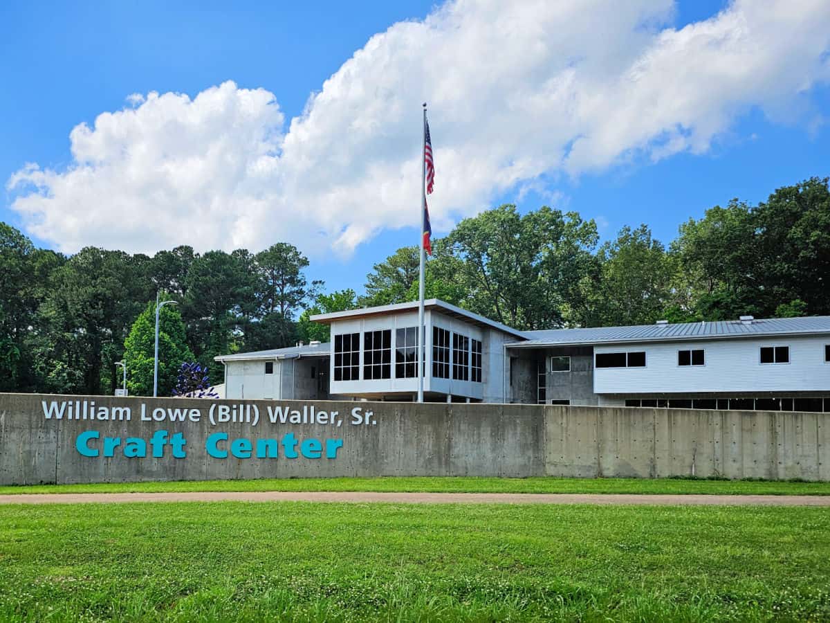
Weather and Seasons
Spring
Spring in the Natchez Trace Parkway typically refers to the months of March through May.
During this time, the park experiences blooming flowers, including dogwood and redbud trees, and temperatures begin to rise.
Average temperatures during this time range from highs in the 60s to lows in the 40s, although temperatures can vary.
Spring is a great time to explore the parkway on foot or bike and enjoy the area's natural beauty as it comes to life after the winter months.
Visitors should also be aware of potential rainfall during this time and plan accordingly.
Summer
You can enjoy the summer season at the Natchez Trace Parkway from June to August.
The weather is typically warm and muggy, with temperatures between 70 and 90 degrees.
The parkway is more peaceful in summer than in spring and fall, but you may run into some storms and bugs.
The parkway is still scenic in summer, with lush forests and meadows, but you may miss out on some wildflowers that bloom in spring.
If you plan to visit the parkway in summer, you should pack enough water, sunscreen, insect repellent, and rain gear.
Before you leave, you should also check the weather and current conditions.
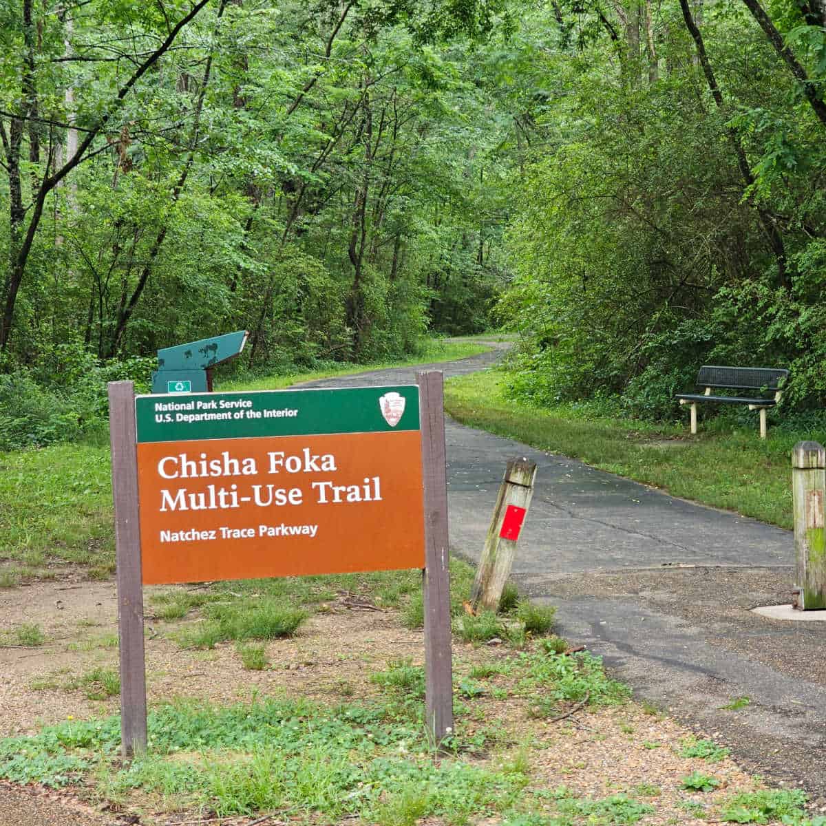
Fall
Depending on which section you visit, the Natchez Trace Parkway is typically at or near its fall color peak from mid-October through late November.
The best times to take it are spring and fall. In April and May, you can see many wildflowers and trees blooming along your way.
The temperature along the parkway varies depending on the location and elevation.
The average high temperature in October is around 70and the average low is around 48.
In November, the average high is around 60, and the average low is around 39.
The parkway offers many scenic views and attractions along its 444-mile (715 km) route.
You can enjoy the fall colors from overlooks, trails, historic sites, and more.
Winter
In winter, the average high temperature in December is around 51 degrees, and the average low is around 31 degrees. In January, the average high is around 49 degrees, and the average low is around 28 degrees.
Winter on the Natchez Trace Parkway offers some unique advantages.
You can discover new sights that are hidden by the leaves in other seasons, such as historic buildings, sunken trails, and wildlife.
You can also enjoy the local specialties of the communities along the parkway, such as coffee shops, museums, music venues, and more.
You can also avoid the crowds and traffic that are more common in peak seasons.
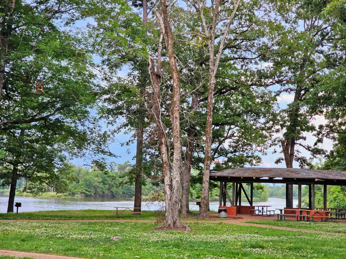
Best Things to do
Explore the Meriwether Lewis Site
The Meriwether Lewis Site is a historical and natural attraction on the Natchez Trace Parkway near Hohenwald, Tennessee.
It is the place where Meriwether Lewis, the famous explorer, and leader of the Lewis and Clark Expedition, died and was buried in 1809.
The visitor information center has exhibits and park information that tell you more about Meriwether Lewis's life and death.
The state of Tennessee erected a burial monument for Meriwether Lewis in 1848, which can be seen at the site.
The Footsteps Through History Trail is a short, accessible trail that begins near the restrooms and takes you to a preserved section of the Old Natchez Trace, a pioneer cemetery, and a replica of Grinder's Stand, where Lewis died.
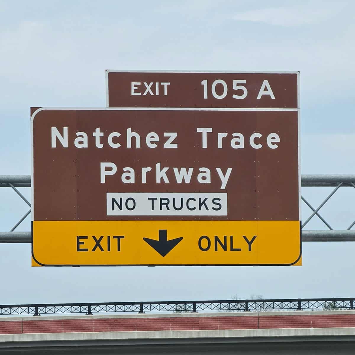
American Indian Mounds along the Natchez Trace Parkway
American Indian mounds along the Natchez Trace Parkway are ancient earthen structures built by different American Indian cultures over thousands of years.
Different American Indian cultures built mounds of earth for various reasons, such as religious ceremonies, burials, bases for temples or chiefs' dwellings, and territorial markers.
They constructed the mounds by transporting and compacting soil in baskets.
Some of these structures required centuries and thousands of workers to finish.
The mounds show the richness and diversity of the American Indian cultures that lived in the area, such as the Mississippian, Woodland, and Archaic periods.
Many American Indian tribes today consider the mounds as holy places and part of their legacy.
They deserve respect and protection. You can see six mound sites along the Natchez Trace Parkway, such as Emerald Mound at Milepost 10.3, the second-largest Mississippian mound in the country, and Bynum Mounds at Milepost 232.4, the oldest mounds on the parkway.
Picnicking
Enjoying a picnic is a wonderful way to relax and connect with the natural beauty of the Natchez Trace Parkway.
The Trace has over thirty scenic spots for your next picnic. Some are next to peaceful creeks, others have views of historic sites, and many are great for a day of fun activities.
Wildlife viewing
Nature lovers will find plenty to admire at the Natchez Trace Parkway, where wildlife abounds in all shapes and sizes.
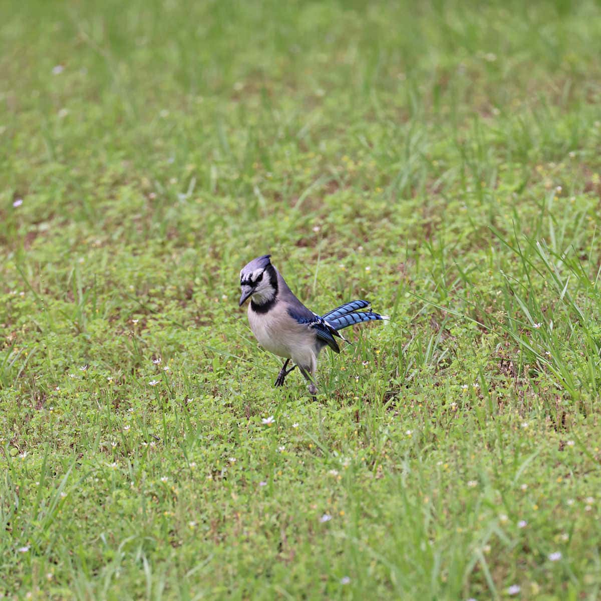
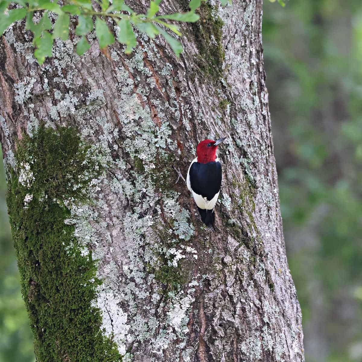
You can see more than 136 kinds of birds, from tiny hummingbirds to majestic blue herons to flocks of wild turkeys.
You can also encounter more than 200 mammals, herptiles, and fish species, such as deer, fox, armadillo, coyote, and even the rare black bear.
The parkway also boasts a stunning variety of plants and trees that change colors throughout the year, such as dogwoods, redbuds, and wildflowers.

Bird Watching
Spring and fall are the perfect times to enjoy Bird Watching, as the Natchez Trace follows the migration route along the Mississippi Flyway.
You can stop along any of the wooded nature trails or near a stream or river to have your best chance of viewing a unique species.
Some of the pull-offs that are noted for their quality birding opportunities are Ross Barnett Reservoir, Tenn-Tom Waterway, Colbert Ferry, Rocky Springs, Jeff Busby, Witch Dance, Donivan Slough, and Meriwether Lewis.
You may spot Warblers, Egrets, Northern Cardinals, Cedar Waxwings, Scarlet Tanagers, Bald Eagles, Red-Tailed Hawks, American Kestrels, Indigo Buntings, and Whip-poor-wills, among others.
Hiking
Hiking trails and self-guided nature walks are throughout the parkway, offering opportunities to experience the region's natural and cultural heritage.
Some popular hiking destinations along the parkway include the Natchez Trace National Scenic Trail, Potkopinu Trail, Rocky Springs Trail, and various other trails located near campgrounds and historical sites.
The Natchez Trace National Scenic Trail, which consists of five separate sections running parallel to the parkway, can be accessed from many points along the parkway.
Always carry the 10 essentials for outdoor survival when exploring.
Where to stay when visiting
You may be wondering where should I stay on the Natchez Trace Parkway? Especially since there are no National Park Lodges, cabins, or yurts within the park.
Lodging options can be easily found in larger cities along the Natchez Trace Parkway, including:
Natchez, Mississippi
I stayed at the TownPlace Suites by Marriott Vidalia Riverfront (Vidalia, LA). Yes, Louisiana because Natchez lies on the East bank of the Mississippi River, and Vidalia, Louisiana, lies on the West bank. We had a nice room and an incredible sunset along the river!
Jackson/Ridgeland, Mississippi
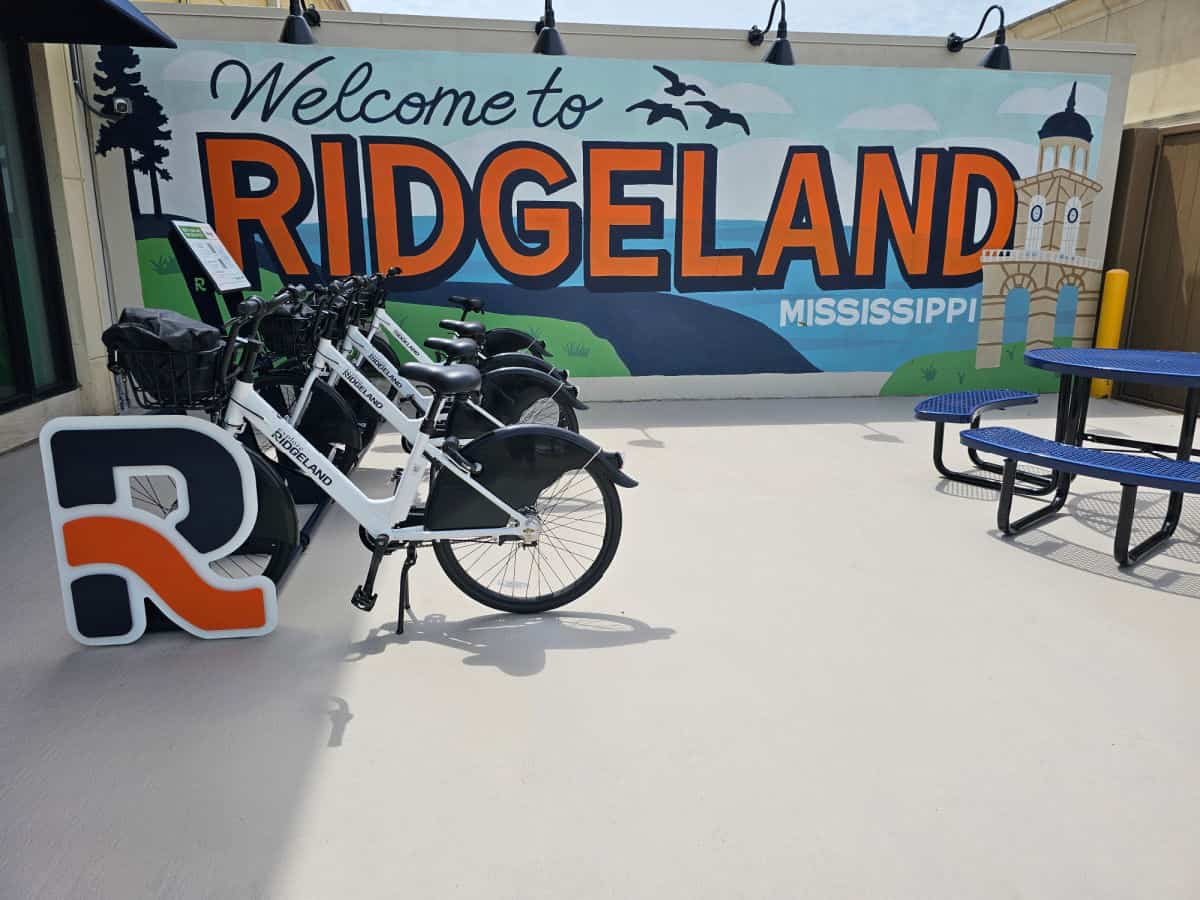
Make sure to read my article about the Natchez Trace Parkway and Ridgeland Mississippi Trip Report. Discover area activities, Restaurants, and more!
Click on the map below to see current vacation rentals and lodges near the park.
Tupelo Mississippi
Hotel Tupelo, a Wyndham Hotel - Hotel Tupelo, a Wyndham Hotel, offers a range of amenities to guests, such as a grocery/convenience store, dry cleaning/laundry services, and a bar. Guests can also access free high-speed Wi-Fi in their rooms, which is suitable for three to five people or up to ten devices. The hotel also provides a 24-hour gym and business center, as well as complimentary self-parking. Other benefits include bike rentals, an elevator, and a 24-hour front desk, with non-smoking premises and luggage storage.
Holiday Inn Hotel & Suites Tupelo North- If you are looking for a 3-star hotel in a peaceful, rural location, Holiday Inn Hotel & Suites Tupelo North, an IHG Hotel, might be your ideal choice. The hotel offers a complimentary roundtrip airport shuttle, dry cleaning/laundry services, and a bar. Guests can enjoy a meal at Grata, the onsite restaurant, or stick to their workout routines at the gym or business center. Free in-room Wi-Fi is provided for their convenience.
Additional perks of the hotel include a seasonal outdoor pool, full breakfast (available for a surcharge), a free area shuttle, and self-parking (available for a surcharge). The hotel also offers express check-out, a 24-hour front desk, and free newspapers. A banquet hall, a front-desk safe, and luggage storage are available as well.
Candlewood Suites Tupelo North - This hotel is located in Tupelo, Mississippi, and features a range of amenities that guests can enjoy. Some of these amenities include free Wi-Fi, a full kitchen in each suite, an on-site gym, a 24-hour business center, and laundry facilities. Additionally, the hotel also offers a meeting room and a dry cleaning/laundry service. Guest can also take advantage of the free self-parking.
The hotel is conveniently located near Natchez Trace Parkway, making it a great base for exploring the area. Candlewood Suites Tupelo North offers various room types.
Guests can choose from studio suites, one-bedroom suites with a separate living room, and two-bedroom suites with two bathrooms.
Natchez Trace Parkway Camping
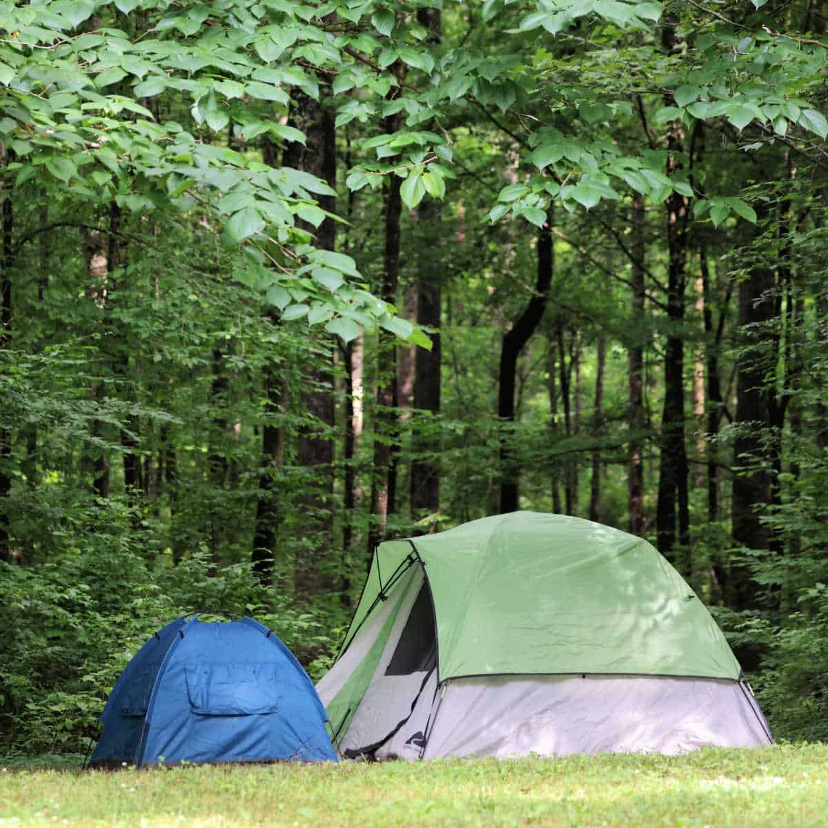
No-fee camping is available along the Parkway. There are three RV/Tent Campgrounds along the Natchez Trace, including:
Rocky Springs Campground - 22-site campground located at milepost 54.8 of the Natchez Trace Parkway
Jeff Busby Campground - 18-site campground located at mp 193.1 of the Natchez Trace Parkway
Meriwether Lewis Campground - 31-site campground located at mp 385.9 of the Natchez Trace Parkway
Additional Resources
Building the Natchez Trace Parkway (Images of America) by Natchez Trace Parkway Association
Bicycling the Natchez Trace: A Guide to the Natchez Trace Parkway and Scenic Routes by Glen Wanner
Guide to the Natchez Trace Parkway (Nature's Scenic Drives) by Tim Jackson
Parks Near the Natchez Trace Parkway
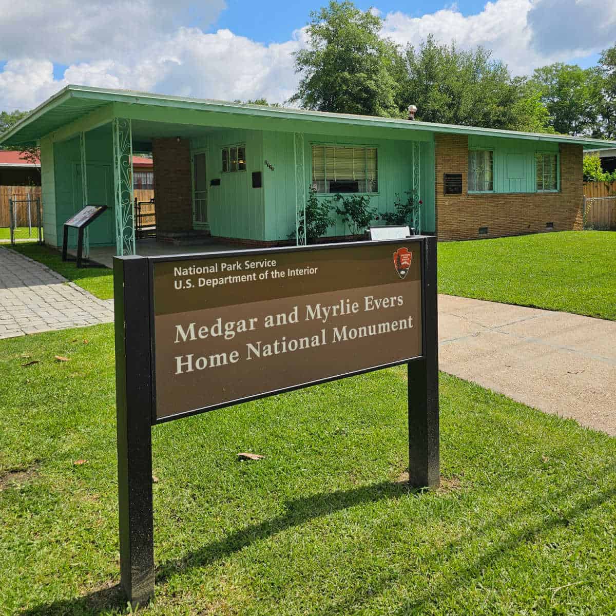
Medgar and Myrlie Evers Home National Monument
Brices Cross Roads National Battlefield
Natchez Trace National Scenic Trail
Vicksburg National Military Park - Complete Guide to Explore Vicksburg National Military Park
Natchez National Historical Park - Complete guide to Natchez Historical Park in Natchez, Mississippi
Poverty Point National Monument - Complete Guide to Poverty Point in Louisiana
Check out all of the National Parks in Mississippi along with neighboring National Parks in Alabama, National Parks in Arkansas, Louisiana National Parks, and Tennessee National Parks.
Make sure to follow Park Ranger John on Facebook, Instagram, Pinterest, and TikTok




Leave a Reply