Complete Guide to Horseshoe Bend National Military Park in Alabama, including things to do, history, nearby lodging and camping, directions, and so much more.
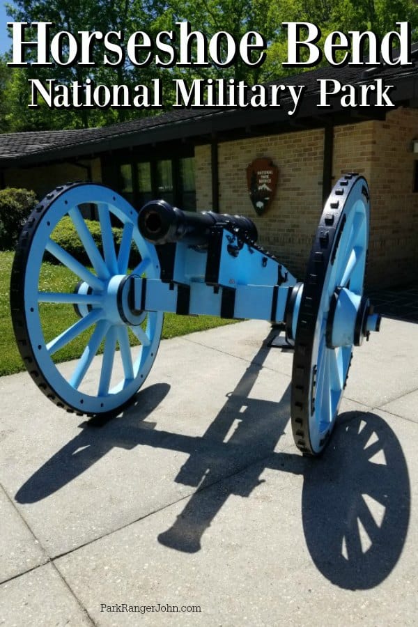
Horseshoe Bend National Military Park
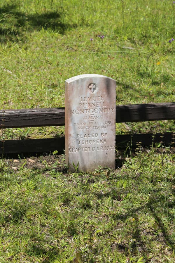
On March 27, 1814, a deadly battle was waged at Horseshoe Bend. This battle resulted in the largest loss of Native Americans in a single battle in history.
Horseshoe Bend National Military Park was created to protect the land and make sure that we are all aware of the Battle at Horseshoe Bend.
When you visit the park make sure you give yourself at least an hour or two to enjoy the scenic drive, film, and visitor center.
The park does not have any food or concessions so pack water and snacks with you.
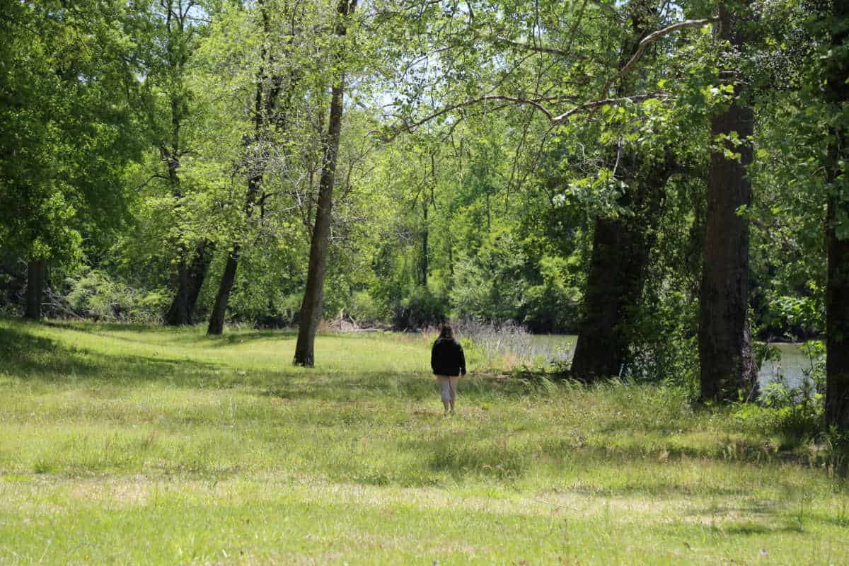
This park includes a gorgeous scenic walking trail that would be perfect on a cool Alabama day. Be prepared for the heat and bugs in the summer months!
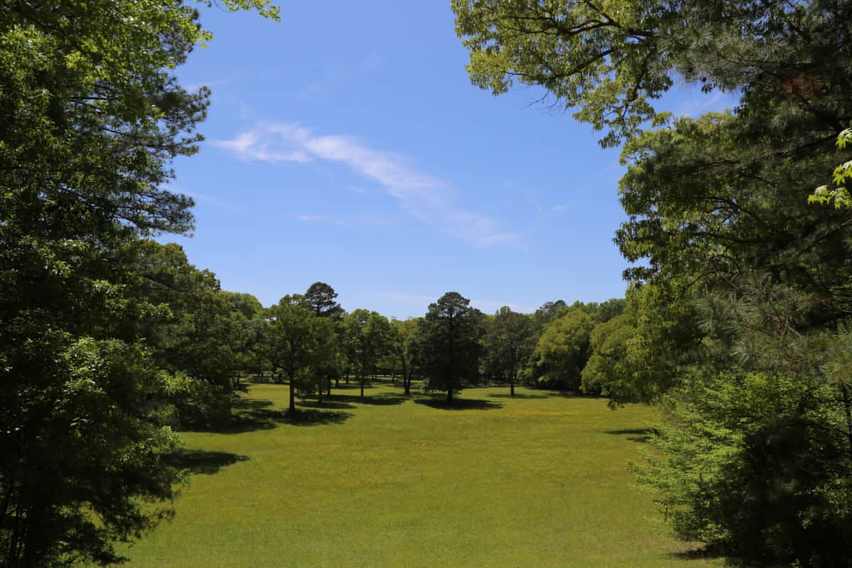
A large portion of this park is open meadows without shade.
About Horseshoe Bend National Military Park
The Battle of Horseshoe Bend occurred on March 27th, 1814 when General Jackson led over 3,000 men to battle the Red Sticks.
During the battle, more than 800 of Chief Menawa's Red Sticks lost their lives. Chief Menawa was injured but able to escape the battlegrounds.
Many of the Red Sticks refused to surrender after the battle and joined the Seminoles in Florida. In August 1814 a delegation of Creek chiefs surrendered to Andrew Jackson at Fort Jackson.
The treat of Fort Jackson ended the conflict when the Creeks surrendered 23 million acres to the United States. The state of Alabama was created from this land.
Is Horseshoe Bend National Military Park worth visiting?
Horseshoe Bend National Military Park is definitely worth visiting for anyone interested in American history, Native American culture, or scenic natural beauty.
The park offers a unique opportunity to learn about the Creek War and its impact on the local community, as well as the history and customs of the Muscogee Creek Nation.
Aside from that, the park is home to breathtaking views of the Tallapoosa River and surrounding landscape, making it a must-see destination for nature enthusiasts and photographers.
History of Horseshoe Bend National Military Park
Horseshoe Bend National Military Park preserves the site where the Creek War of 1813-1814 ended.
Horseshoe Bend National Military Park is the site where the Battle of Horseshoe Bend occurred on March 27th, 1814. Over 800 members of the Upper Creek nation died during the battle here.
By 1812, the Creek nation was a tribe divided. The Upper Creek, known as the Red Stick Warriors, had allied themselves with the British during the War of 1812. The Lower Creek, known as the White Sticks, aligned themselves with the Americans.
The Upper Creek's anti-American sentiments were due to the loss of their territory as the American settlers made their way into modern-day Alabama and Georgia. In 1813, the divide amongst the Creek erupted into civil war. A vicious attack on the American Fort Mims pulled the Americans into the conflict.
The Creek War (1813-1814)
At the end of the Revolutionary War in 1785, the American settlers began expanding their territory. This expansion threatened the Creek nation’s homelands and hunting territory in western Alabama and Georgia. The Creek nation and Americans entered into several treaties that would allow the Americans to settle on the land of the Creek nation.
Not all members of the Creek nation supported the yielding of land to the settlers. It was this difference in thought that divided the Creek nation. These flames of division were fanned further when the Shawnee leader, Tecumseh, visited the Creek nation to warn them of the dangers of co-operating with the settlers.
Initially, the Creek nation fought amongst themselves, but this changed on August 30th, 1813. The Upper Creek attacked the American settlers at Fort Mims north of Mobile, killing all 553 of its inhabitants. The Southern territories retaliated by amassing a force of militiamen under the leadership of Maj. Gen. Andrew Jackson.
The Battle In-Context
After the Ft. Mims Massacre, war broke out between the Upper Creeks and the Americans. The Lower Creeks and the Cherokees aided the Americans. The Upper Creeks were supported by the British.
Gen. Andrew Jackson made his supply base at Fort Strother, Alabama. Jackson and his men successfully destroyed two Creek villages of Tallasahatchee and Talladega by November. By December of 1813, the Georgia militia had attacked two more Creek towns, Autosee and Tallassee.
By January 1814, more Upper Creek villages had been destroyed. The Upper Creeks began gathering in their hundreds at a heavily fortified town on the Tallapoosa River called Tehopeka.
Tehopeka sat on a distinctive bend of the Tallapoosa River, which the Americans called Horseshoe Bend. Jackson's men left Fort Strother and advanced towards the town.
The Battle of Horseshoe Bend
March 26th saw General Andrew Jackson's Tennessee militia camped 6 miles from Horseshoe Bend and the heavily fortified town of Tehopeka.
The entrance to town of Tehopeka had been heavily fortified with timber and mud. The town's defenses were further aided by the natural barrier created by the Tallapoosa River on three sides. Jackson devised a creative approach to attack the town.
On March 27th, Major General Andrew Jackson made his move. Jackson began a bombardment on the front of the town, while half of his troops were camped on the opposite riverbank. The attack on the front of Tehopeka was a distraction, planned so that Gen. Coffee and his militia could sneak across the river by canoe.
Once Jackson could see signs of the battle happening inside the town, he ordered an unflinching bayonet charge on the Upper Creek town. The 39th infantry made it over the fortified wall and began their unyielding attack. More than 800 Upper Creek Red Stick Creek warriors were killed during the battle, severely diminishing their fighting force of 1,000.
This was the largest loss of life and the final battle of the creek war.
The End of The Creek War
With almost all of their force destroyed during the Battle of Horseshoe Bend, the Upper Creeks were defeated.
Their leader, Chief Menewa, survived the battle and fled the battlefield after playing dead. The Upper Creek defeat at the Battle of Horseshoe Bend ended the Creek War.
After the Battle of Horseshoe Bend, the surviving Upper Creek warriors signed the Treaty of Fort Jackson in August 1814. The treaty ended the fighting and forced the Upper Creeks to cede over 20 million acres to the Americans.
The Horseshoe Bend National Military Park preserves the site where the Upper Creek made a desperate last stand. The Upper Creek defeat here was the beginning of modern territory of Alabama.
Alabama became an economic hub in the south after the Creek War. The Creek Indians were relocated to reservations in Oklahoma in 1830 on the Trail of Tears, by the then President of America, Andrew Jackson.
The treaty of Fort Jackson in 1814 resulted in the United States government obtaining 23 million acres of land. This land became what we know today as Alabama and portions of Georgia.
Things to know before your visit
Entrance fee
$0.00 - There is no entrance fee to enter the monument or the visitor center.
Learn more about National Park Passes for parks that have an entrance fee.
$80.00 - For the America the Beautiful/National Park Pass. The pass covers entrance fees to all US National Park Sites and over 2,000 Federal Recreation Fee Sites for an entire year and covers everyone in the car for per-vehicle sites and up to 4 adults for per-person sites.
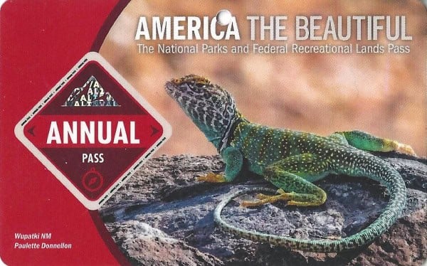
Buy your pass at this link, and REI will donate 10% of pass proceeds to the National Forest Foundation, National Park Foundation, and the U.S. Endowment for Forestry & Communities.
National Park Free Entrance Days -Mark your calendars with the five free entrance days the National Park Service offers annually.
Time Zone
Central Time Zone
Pets
Dogs are allowed but must be on a leash of no more than 6 feet in length.
Service animals, such as guide dogs, are allowed in the Visitor Center.
Cell Service
Cellular service availability depends on the carrier.
Park Hours
The park is open from Monday to Sunday at 8 AM to 5 PM.
Wi-Fi
There is no public Wi-Fi available at the park.
Insect Repellent
Insect repellent is always a great idea when outdoors, especially if you are around any body of water.
We use Permethrin Spray on our clothes before our park trips.
Water Bottle
Make sure to bring your own water bottle and plenty of water with you. Plastic water bottles are not sold in the park.
Parking
There are plenty of parking lots within the park.
Food/Restaurants
There are no restaurants within the park.
Gas
There are no gas stations within the park.
Drones
Drones are not permitted within National Park Sites.
National Park Passport Stamps
National Park Passport stamps can be found in the visitor center.
We like to use these circle stickers for park stamps so we don't have to bring our passport book with us on every trip.
The National Park Passport Book program is a great way to document all of the parks you have visitied.
You can get Passport Stickers and Annual Stamp Sets to help enhance your Passport Book.
Electric Vehicle Charging
There are 1176 EV charging stations in Alabama.
Details about Horseshoe Bend National Military Park
Size - 2.040 acres of land
Check out how the park compares to other National Parks by Size.
Date Established
Established on August 11, 1959 by President Dwight D. Eisenhower
Visitation
In 2022, Horseshoe Bend NMP had 67,773 park visitors.
In 2021, Horseshoe Bend NMP had 58,285 park visitors.
In 2020, Horseshoe Bend NMP had 28,600 park visitors.
In 2019, Horseshoe Bend NMP had 45,372 park visitors.
Learn more about the most visited and least visited National Parks in the US
National Park Address
11288 Horseshoe Bend Road, Daviston, AL 36256
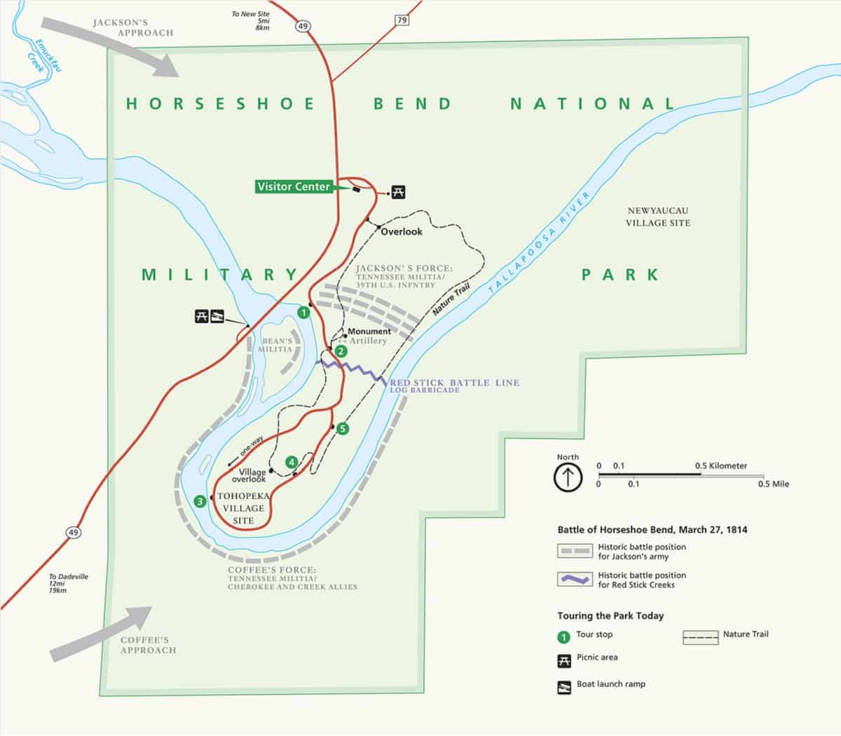
National Park Map
Where is Horseshoe Bend National Military Park?
Located in northeastern Tallapoosa County, Horseshoe Bend National Military Park is accessible from US Highway 280, as well as AL Highways 22 and 49.
The park is located in Central Alabama near Alexander City, Opelika, and Auburn.
Estimated distance from major cities nearby
- Birmingham, AL - 75 miles
- Atlanta, GA - 87 miles
- Nashville, TN - 225 miles
- Memphis, TN - 294 miles
- Jacksonville, FL - 298 miles
- Charlotte, NC - 316 miles
- New Orleans, LA - 335 miles
- Lexington-Fayette, KY - 351 miles
- Louisville, KY - 359 miles
- Baton Rouge, LA - 368 miles
Estimated Distance from nearby National Park
Great Smoky Mountains National Park - 245 miles
Congaree National Park - 330 miles
Mammoth Cave National Park - 365 miles
Gateway Arch National Park - 590 miles
New River Gorge National Park - 560 miles
Shenandoah National Park - 615 miles
Where is the National Park Visitor Center?
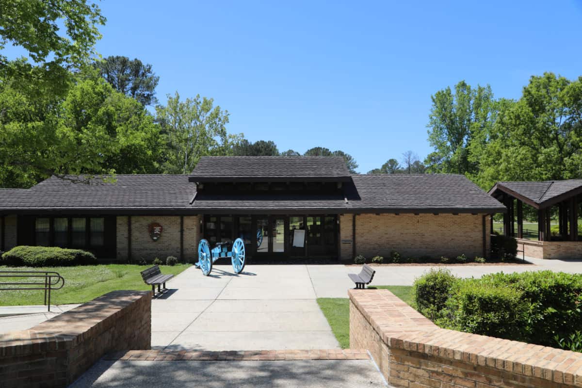
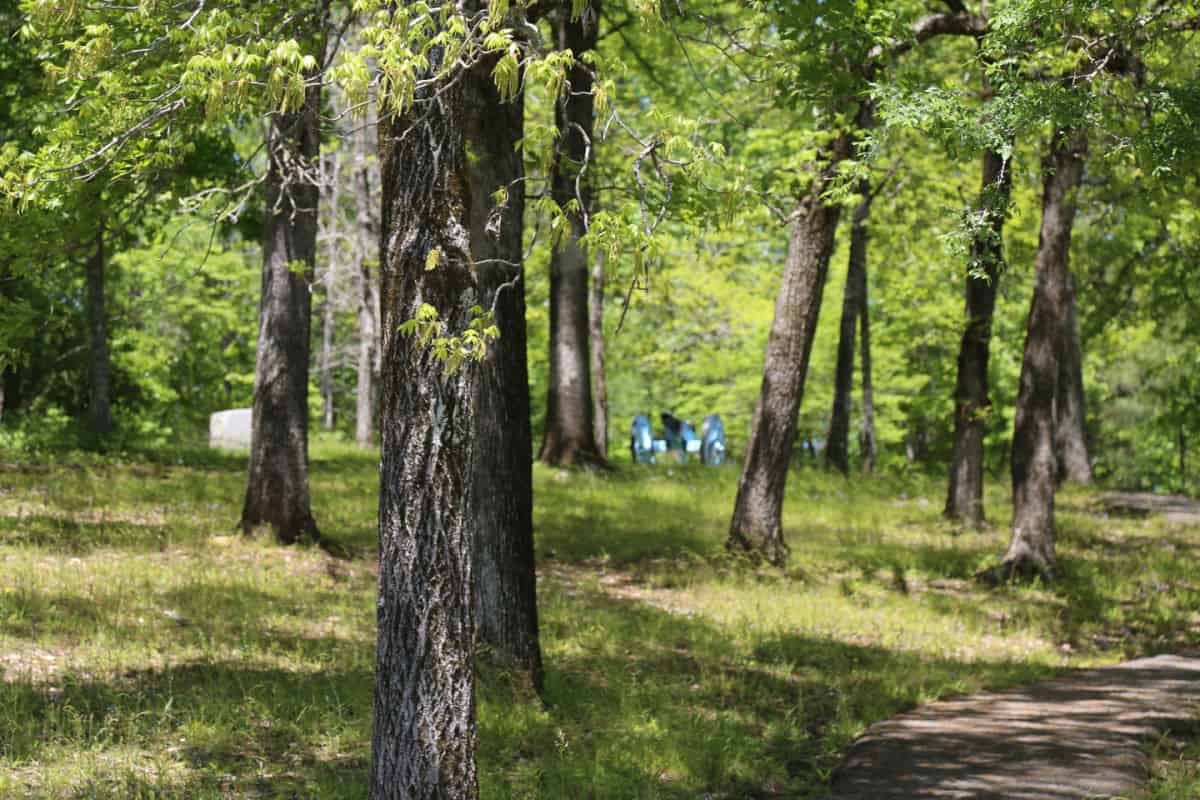
The visitor center is situated within the park grounds and is easily accessible from the park's main entrance.
Getting to Horseshoe Bend National Military Park
Closest Airports
- Columbus Metropolitan Airport (CSG / KCSG)
- Montgomery Regional Airport (MGM / KMGM)
- Hartsfield-Jackson Atlanta International Airport (ATL / KATL)
- Birmingham-Shuttlesworth International Airport (BHM / KBHM)
International Airports
- Nashville International Airport (BNA / KBNA)
Regional Airports
- Auburn University Regional Airport (AUO / KAUO)
Driving Directions
From Montgomery, AL: 68 miles
Travel Interstate 85N toward Atlanta. Take Exit 32 (Alabama Highway 49). Turn north (left) onto Alabama Highway 49 toward Dadeville. Follow Highway 49 as it “jogs” through Dadeville. Turn left on US 280/Alabama 49, then turn right on Highway 49 north. Follow it 12 miles to the park entrance.
From Birmingham, AL: 95 miles
Travel US 280 East to Alabama Highway 49. Turn north (left) onto Highway 49 and travel 12 miles to the park entrance.
From Columbus, GA via Auburn/Opelika, AL: 66 miles
Travel US 280W, crossing into Alabama. Merge onto Interstate 85S and follow to exit 58. At exit 58, travel US 280W toward Dadeville/Alexander City. Turn north (right) onto Alabama Highway 49. Travel 12 miles to the park entrance.
From Atlanta, GA: 110 miles
Travel Interstate 85S toward Auburn/Opelika, Alabama. Take Exit 58 and travel US 280W toward Dadeville/Alexander City. Turn north (right) onto Alabama Highway 49. Travel 12 miles to the park entrance.
From Mobile, AL: 240 miles
Travel Interstate 65N toward Montgomery. Take Exit 171 onto Interstate 85N. Take Exit 32 (Alabama Highway 49). Turn north (left) onto Alabama Highway 49 toward Dadeville. Follow Highway 49 as it “jogs” through Dadeville. Turn left on US 280/Alabama 49, then turn north (right) on Highway 49 north. Follow it 12 miles to the park entrance.
Best time to visit Horseshoe Bend National Military Park
Horseshoe Bend National Military Park is a beautiful and historic destination that can be visited year-round. Each season offers a unique experience, depending on your interests and preferences. Regardless of the season, the park's scenic views, hiking trails, and educational exhibits make it a worthwhile destination for visitors of all ages. Plan your visit according to your interests and the activities available during that season to make the most of your experience.
Weather and Seasons
The hottest weather is from May 25th to September 22nd, with an average daily high temperature above 83 degrees.
The coldest weather is from November 29th to February 24th, with an average daily high temperature below 61 degrees.
The snowiest weather usually begins from January 9th to January 24th, when it snows at least 1 inch a month. January gets the most snow, with an average of 1.1 inches.
Best Things to do in Horseshoe Bend National Military Park
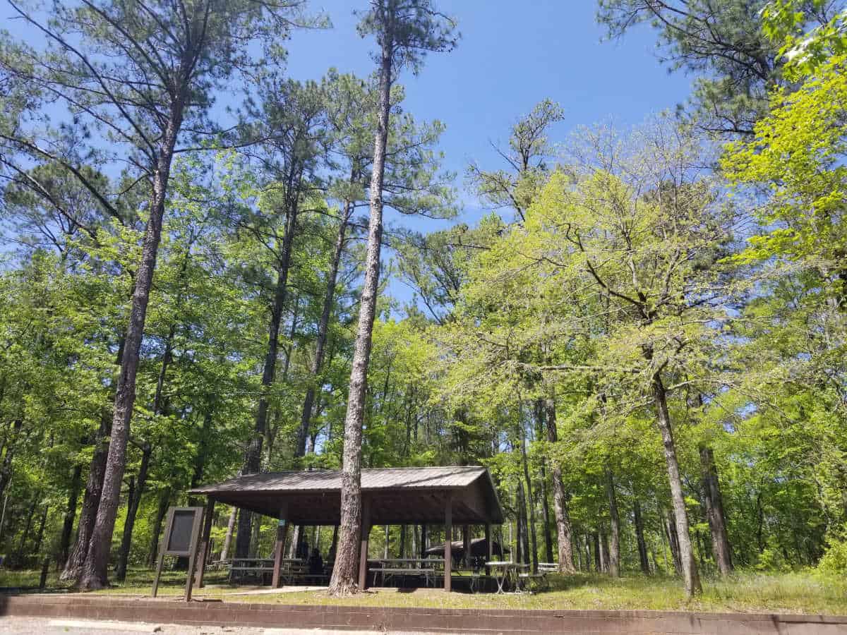
Horseshoe Bend NMP has quite a few indoor and outdoor activities to enjoy! We suggest planning at least half a day to explore the park. Pack a picnic lunch and enjoy the gorgeous picnic area.
Visitor Center
The visitor center is the perfect place to start your visit to Horseshoe Bend National Military Park. The park movie The Battle of Horseshoe Bend is a 22-minute movie depicting the events leading up to the Battle at Horseshoe Bend.
Junior Ranger Program
The Junior Ranger program will take a minimum of 30 minutes to an hour depending on the age of the participant.
Most of the answers are found along the 3-mile auto tour. The junior ranger program does include looking at many interpretive signs at each of the stops.
Some of the questions can be heard during the movie at the visitor center.
3-mile Auto Tour
The three-mile auto tour takes you through the battlefields starting at the visitor center. There are multiple pullouts and interpretive signs to explain what happened at each location.
The driving tour was our favorite part of the park. While there is beautiful scenery along the drive please remember this was also the site of the last battle of the Creek War and many Upper and Lower Creek Warriors lost their lives here.
Picnic Lunch
Pack a picnic lunch or snacks and enjoy the river views. Make sure and pick something up before you visit the park. There are no concessions or food available within the park.
Bird Watching
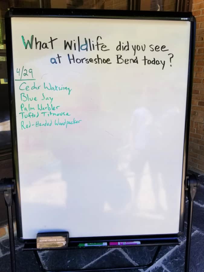
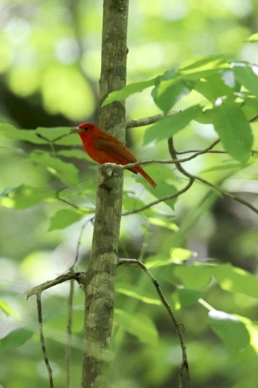
The park is filled with wooded areas and open fields perfect for bird watching. We were so excited to see a Scarlet Tanager during our visit.
Keep an our out for wild turkey and tons of birdlife.
Camera Gear we use
We are big fans of using great camera gear to get amazing photos while traveling.
Canon R5 - We recently upgraded to the R5 after using a Mark 5 for years. We are loving the camera shutter speed and quality of images.
Canon 100 - 500mm - We use the Canon 100-500 for wildlife photography.
Camera Rain Cover - A rain cover will help protect your camera during rain showers but also when photographing waterfalls.
Camera Cleaning Kit - Cameras can get dirty, beat up, and dusty while in the parks. We like having a cleaning kit with us so we can do on the spot touch ups.
Extra Camera Batteries - We suggest always having one or two extra camera batteries with you. There is nothing worse than going to take a shot and the battery dies.
Extra Memory Cards - We use Extreme PRO SanDisk cards
Canoe the Tallapoosa River
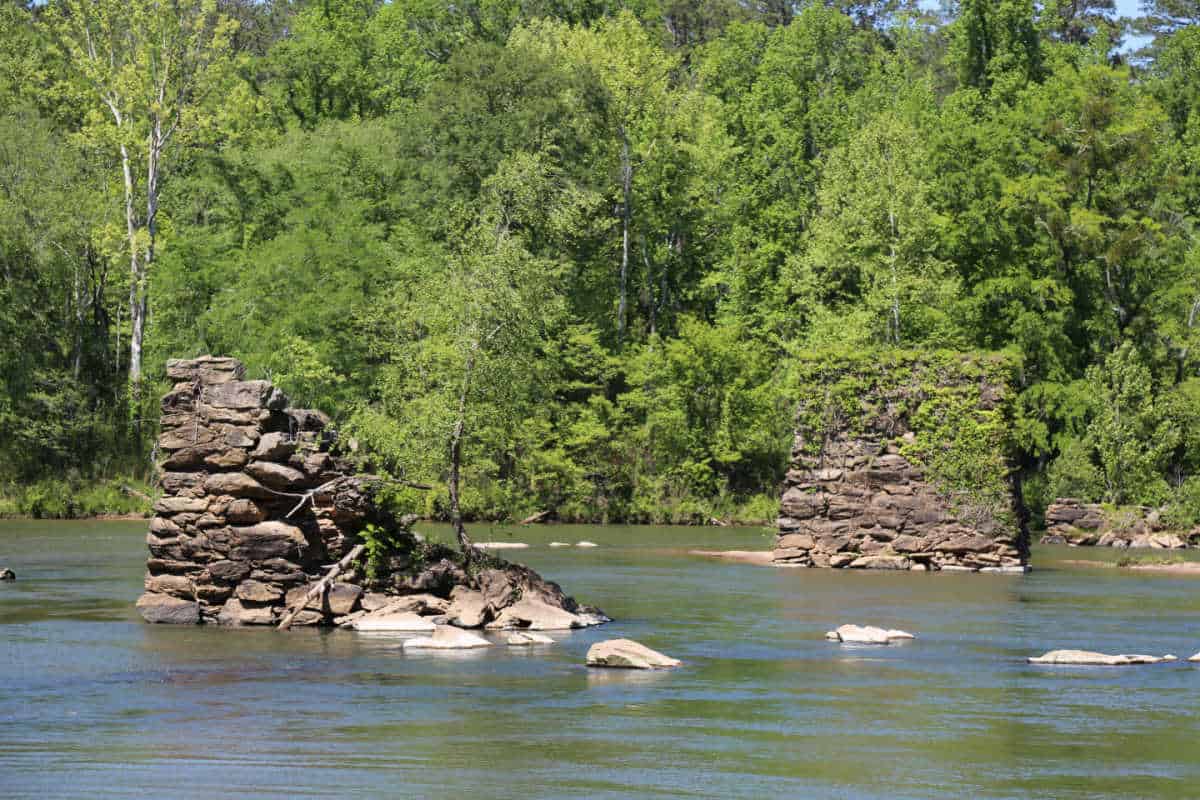
The Miller Bridge Boat Ramp located inside the park is the perfect place to launch a canoe. There are multiple parking spots, a picnic table, and interpretive panels at the boat launch.
The area can be rocky so make sure to check the current water levels before heading to the park. The Harold Banks Canoe Trail covers the 25-mile stretch of the Tallapoosa River that runs through Horseshoe Bend NMP.
Camping is not permitted along the river as it runs through the park.
Kids Summer Camp (? still happening)
On Tuesdays and Thursdays during June and July, explore Creek Indian culture with park rangers.
Reservations are required for Creek Culture Camps.
Space is limited, and sign up begins May 14 at 9:00 a.m. Call the park for reservations 256-234-7111
All camp activities are from 9:00 a.m. – 12:00 p.m.
Choose Tuesday or Thursday. June programs repeat in July.
As always, programs are family-friendly and FREE to the public
Hiking in Horseshoe Bend National Military Park
Always carry the 10 essentials for outdoor survival when exploring.
There is a 2.8 mile long nature trail that winds around the battlefield and near Tohopeka Village, which was the site of a Creek Indian Camp in the early 1800s.
Nature Trail
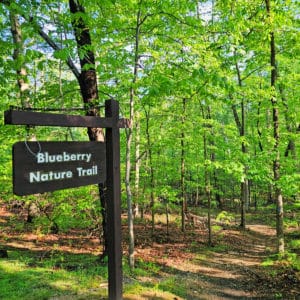
The 2.8-mile nature trail starts at the overlook parking lot and travels through the battlefields.
Be prepared for the heat, bugs, and poison ivy. Stay on the trails and watch where you step.
How to beat the crowds in Horseshoe Bend National Military Park?
We did not experience any crowds during our visit. There is a ton of areas to explore so you can easily move around any groups.
Where to stay when visiting
There are no National Park Lodges within the park.
Nearby Lodging includes:
Days Inn by Wyndham Alexander City - look forward to free to-go breakfast, a grocery/convenience store, and laundry facilities at Days Inn by Wyndham Alexander City. Stay connected with free in-room Wi-Fi, and guests can find other amenities such as a gym and a 24-hour business center.
Hampton Inn Alexander City - forward to free breakfast, dry cleaning/laundry services, and a bar at Hampton Inn Alexander City. Stay connected with free Wi-Fi in public areas, and guests can find other amenities such as a gym and a business center.
Quality Inn Alexander City - free breakfast buffet, laundry facilities, and a gym are just a few of the amenities provided at Quality Inn Alexander City. Stay connected with in-room Wi-Fi (surcharge), and guests can find other amenities such as a business center.
Auburn Marriott Opelika Resort & Spa - 3.5-star family-friendly hotel by the lake. Located close to John Emerald Distilling Company and Louise Kreher Forest Ecology Preserve, Auburn Marriott Opelika Resort & Spa at Grand National provides 36 holes of golf, a poolside bar, and a terrace. Tee up with amenities like a driving range, golf lessons, and a golf clubhouse at this hotel. Indulge in a body wrap, a massage, and a facial at Spa at Grand National, the onsite spa. Be sure to enjoy a meal at any of the 3 onsite restaurants, which feature American cuisine and a poolside location. Enjoy the gym, as well as activities like volleyball, basketball, and mountain biking. In addition to a hair salon and an arcade/game room, guests can connect to free in-room WiFi.
Click on the map below to see current vacation rentals and lodges near the park.
Camping
There are no National Park Campgrounds within the park.
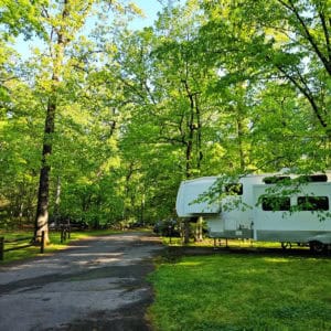
The closest campground is six miles away at Wind Creek State Park south of Alexander City. Campgrounds are also located in the Talladega National Forest and Mt. Cheaha State Park both 50 miles north of the park.

For a fun adventure check out Escape Campervans. These campervans have built in beds, kitchen area with refrigerators, and more. You can have them fully set up with kitchen supplies, bedding, and other fun extras. They are painted with epic designs you can't miss!
Escape Campervans has offices in Vancouver, Seattle, Portland, San Francisco, Las Vegas, Los Angeles, Phoenix, Salt Lake City, Denver, New York, and Orlando
Parks Near Horseshoe Bend National Military Park
Tuskegee Airmen National Historic Site
Tuskegee Institute National Historic Site
Selma to Montgomery National Historic Trail
Jimmy Carter National Historic Site
Andersonville National Historic Site
Check out all of the Alabama National Parks along with neighboring National Parks in Tennessee, National Parks in Georgia, National Parks in Florida, and Mississippi National Parks
Make sure to follow Park Ranger John on Facebook, Instagram, Pinterest, and TikTok

Leave a Reply